Winter Hill
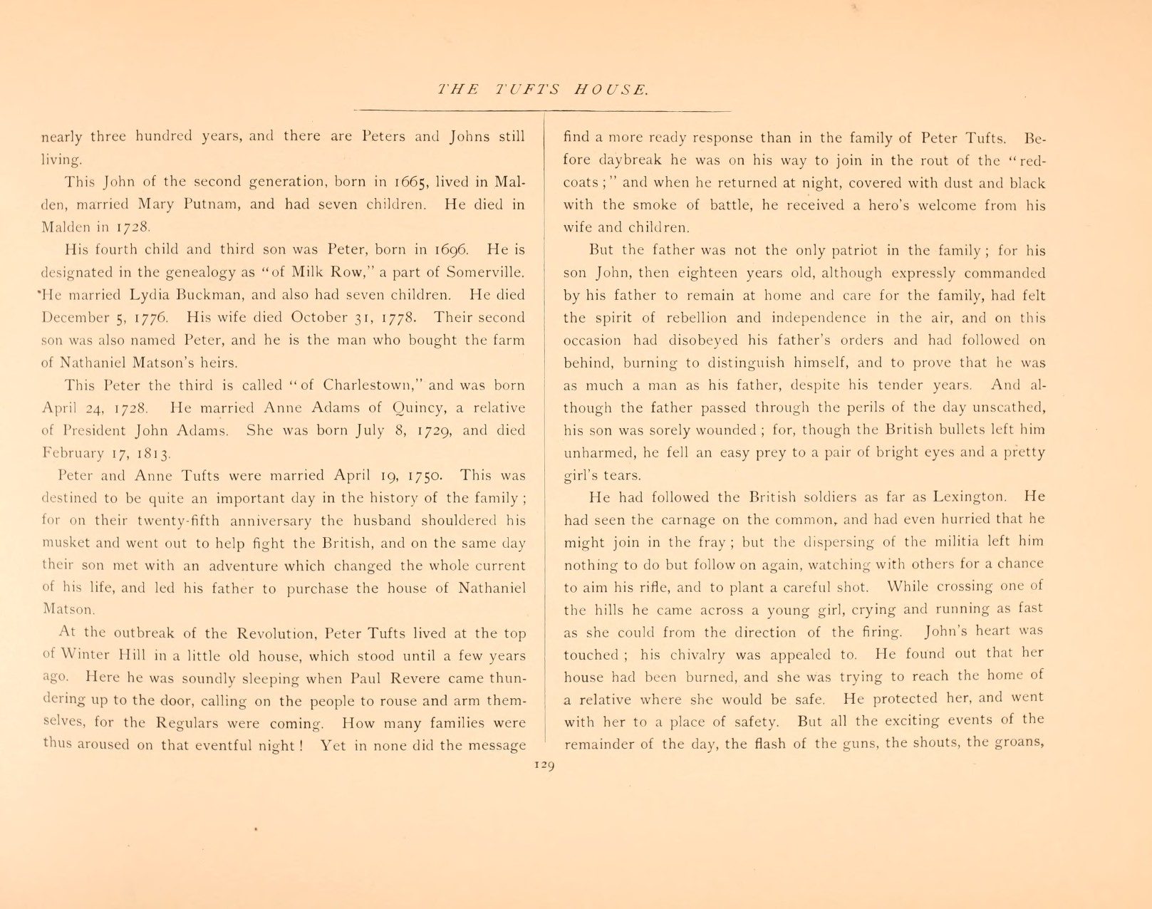
Tufts association: Farm and home of Peter Tufts of Winter Hill (1728–1791) and Anne Adams Tufts, where Paul Revere roused him on April 19, 1775. (Alvin Lincoln Jones, Under Colonial Roofs (1894), p. 129)
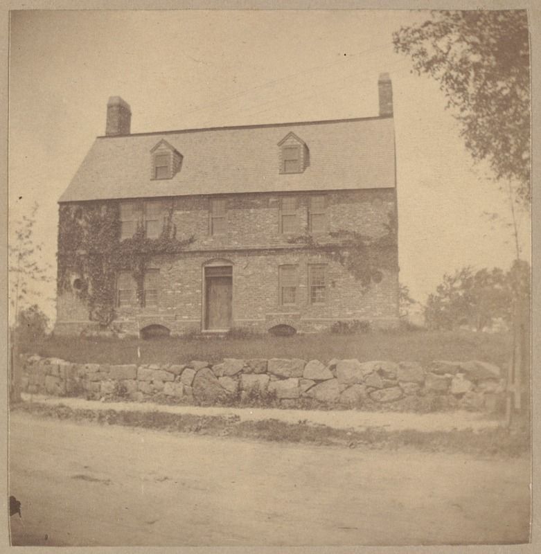
“At the outbreak of the Revolution, Peter Tufts lived at the top of Winter Hill in a little old house, which stood until a few years ago. Here he was soundly sleeping when Paul Revere came thundering up to the door, calling on the people to rouse and arm themselves, for the Regulars were coming.”
Alvin Lincoln Jones, Under Colonial Roofs (1894), p. 129 · page scan
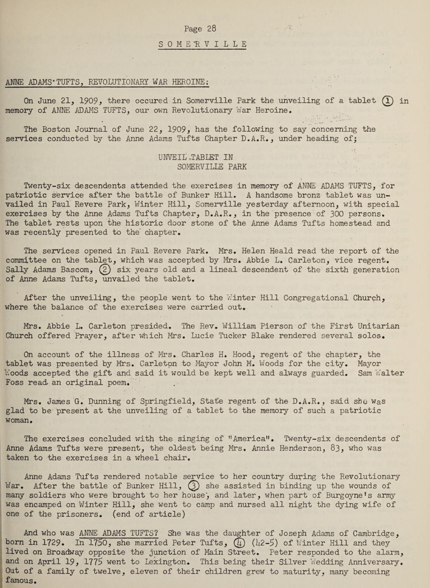
“The tablet rests upon the historic door stone of the Anne Adams Tufts homestead and was recently presented to the chapter.”
Jay Franklin Tufts, Tufts Family History 1633–1963 (secondary source), p. 28, quoting the Boston Journal, June 22, 1909, on the tablet unveiled in Paul Revere Park, Winter Hill, Somerville · page scan
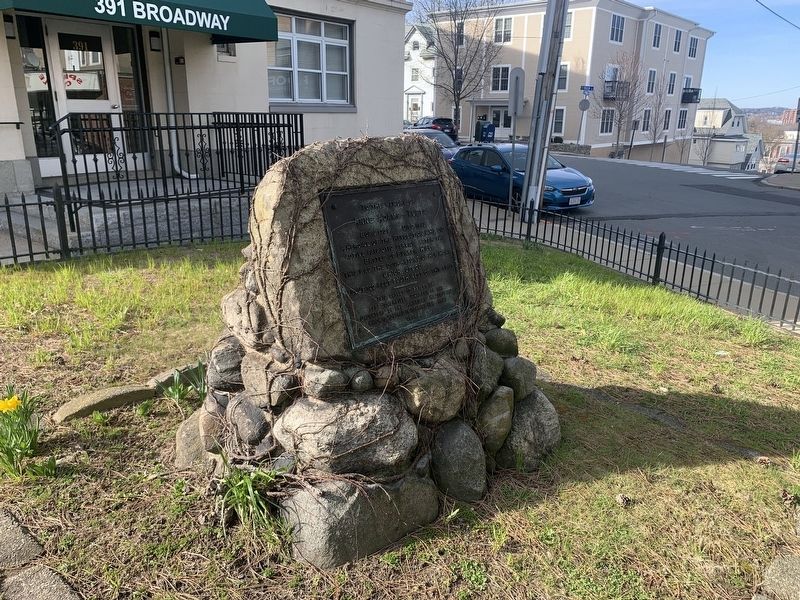
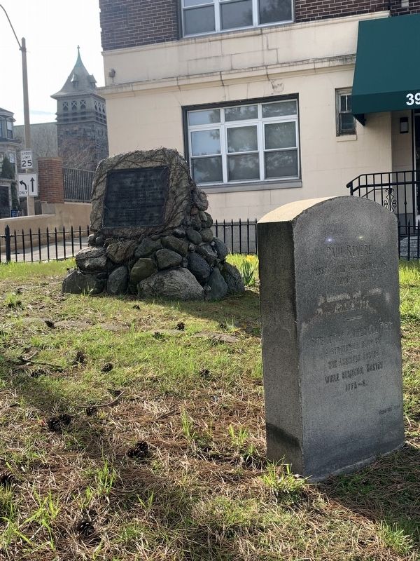
The tablet reads in part: “This was the door-stone of her home which stood about 120 feet south-west of this spot. [The middle digit is worn on the bronze and appears to be 2; some transcriptions read 100.]” Full transcription on Anne Adams Tufts.
Medford & Charlestown
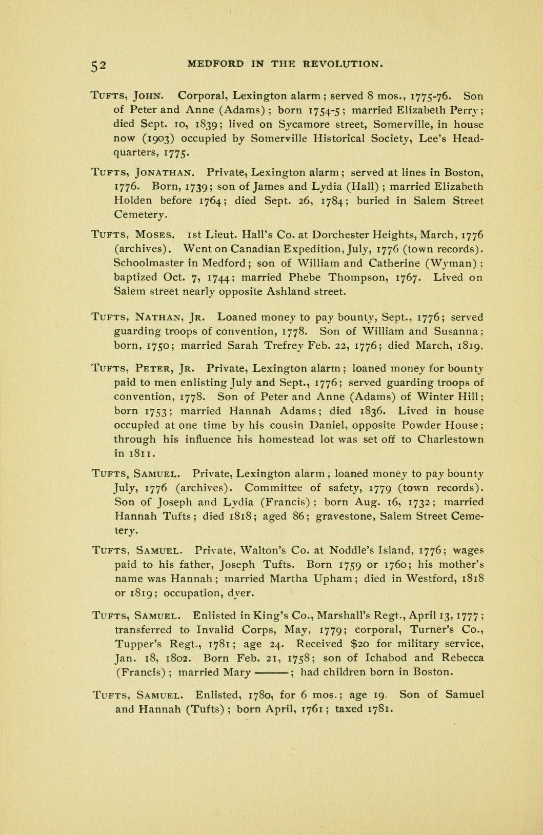
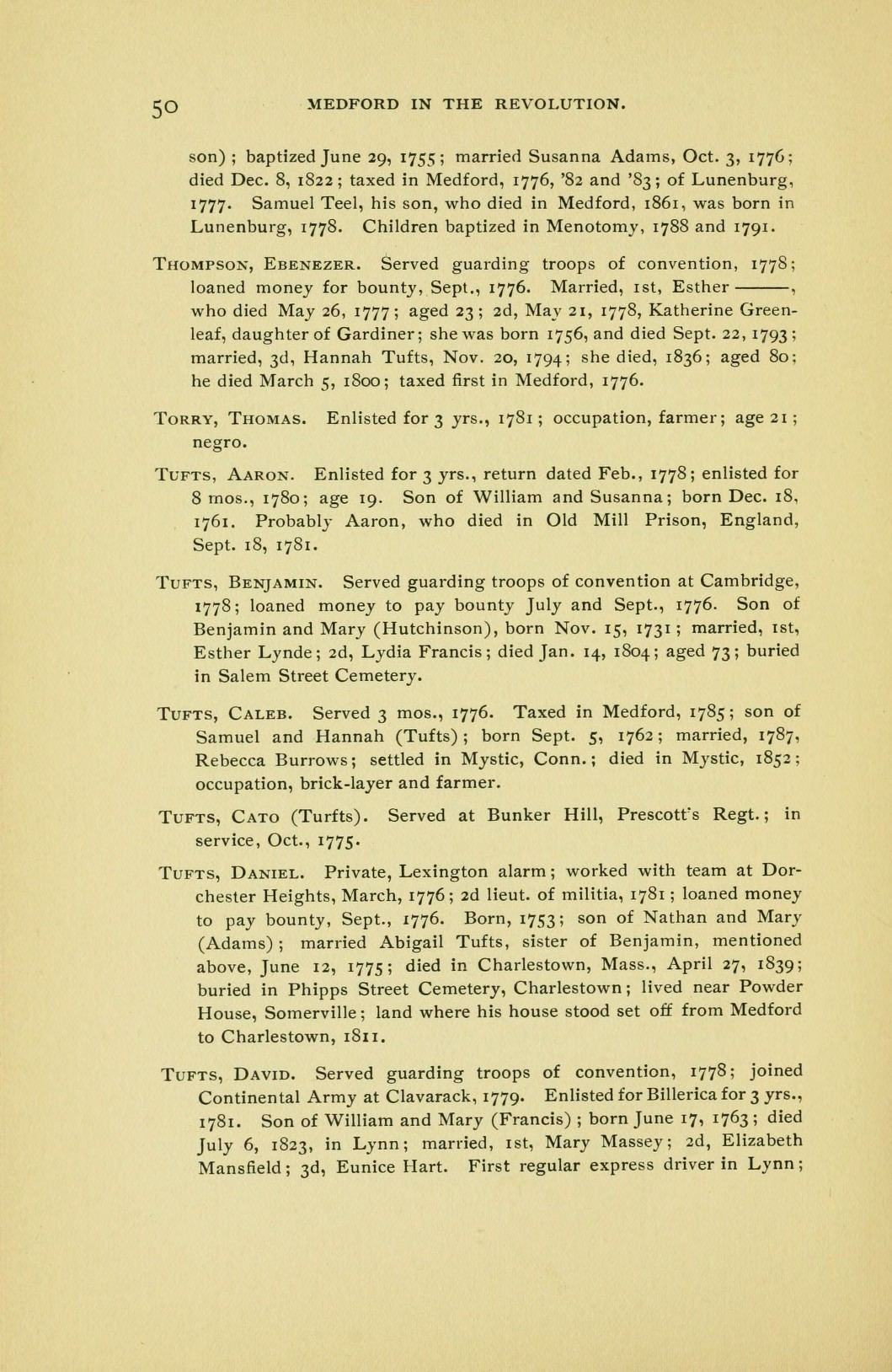
Tufts association: Residences of Peter Tufts Jr. (1753–1832) and his cousin Daniel Tufts opposite the Powder House; Peter Jr. had his homestead lot set off to Charlestown in 1811. (Helen Tilden Wild, Medford in the Revolution (1903), pp. 50, 52)
“Lived in house occupied at one time by his cousin Daniel, opposite Powder House; through his influence his homestead lot was set off to Charlestown in 1811.”
Helen Tilden Wild, Medford in the Revolution (1903), p. 52 (Peter Tufts Jr.) · page scan
“lived near Powder House, Somerville; land where his house stood set off from Medford to Charlestown, 1811.”
Helen Tilden Wild, Medford in the Revolution (1903), p. 50 (Daniel Tufts) · page scan
Later Homes
Tufts association: Each place below is tied to the family member named in the linked section, where its sources are quoted.
- Weymouth, Mass.: Dr. Cotton Tufts and the Tufts Library (19th Century)
- Walnut Hill, Somerville and Medford: Charles Tufts's gift for Tufts College (19th Century)
- Mystic, Conn.: Caleb Tufts, per Wild p. 50 (profile)
- Sacramento, Calif.: Albert C. Tufts, druggist (19th Century)
⚑ Unverified
Mystic, Conn. (Caleb Tufts): the residence rests on Wild p. 50 and his Find a Grave memorial only; no land record seen.
Salem Street Burying Ground, Medford
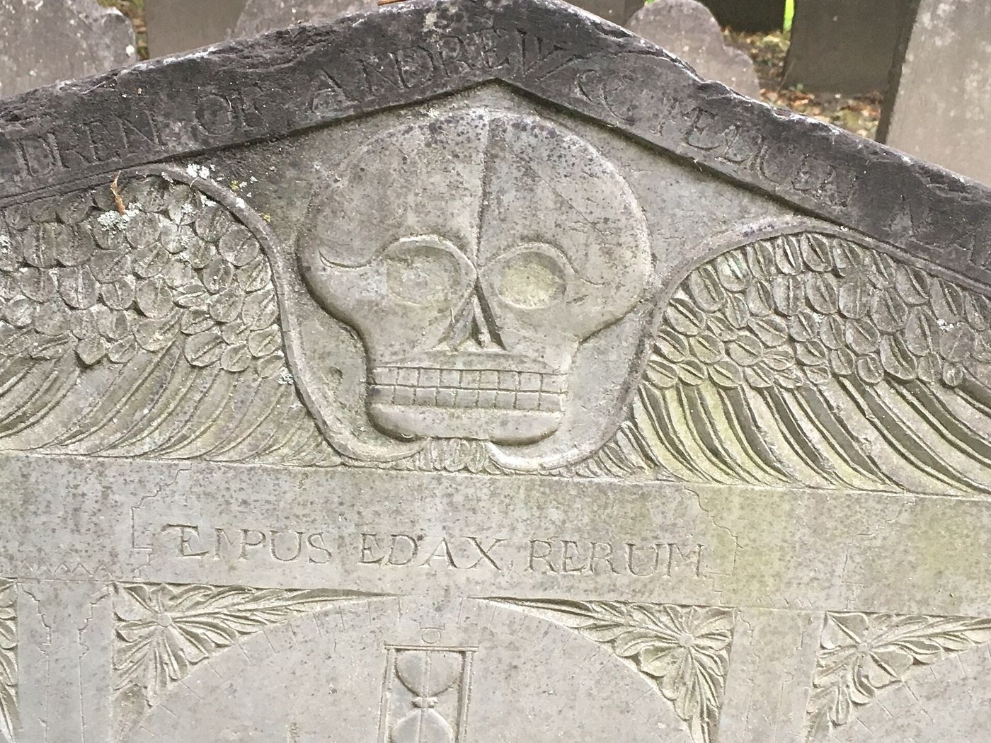
The burial place of both Drs. Simon Tufts, with its 1930 gate tablets. See Salem Street Burying Ground.
Harvard College, Cambridge
Thirteen Tufts graduates or students from 1701 to 1807, among them three family physicians. See Harvard College.
Tufts House, Farmington, Maine (1810)
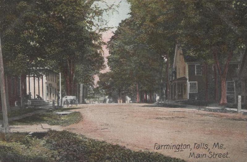
“Built by Francis Tufts, a brickmaker,” the Federal-style brick house was made from “clay Tufts took from the banks of the nearby Sandy River.” The Maine Historic Preservation Commission adds that Tufts came from Medford with his family in 1775 and built the first mills at Farmington Falls. It was listed on the National Register in 1979. (Maine Historic Preservation Commission)
Tufts association: Built in 1810 and lived in by Rev. Francis Tufts (1744–1833) of Medford, who made its bricks himself; a proprietor of Farmington and builder of its first mills. (National Register nomination, Tufts House, NRIS 79000130)
The 1979 National Register nomination names the builder and his story: “Francis Tufts, born in 1744 in Medford, Massachusetts, came originally to the Farmington area in 1780 from Nobleboro where he had moved with his family in 1775.” He had built a frame house nearby in 1791, replacing a log dwelling, and the bricks of the 1810 house “were manufactured by the builder, a professional brickmaker among other accomplishments, from clay taken from the banks of the Sandy River.” He was “one of three men who negotiated the purchase of the township from the Massachusetts General Court in 1790,” built and owned the first mills at Farmington Falls, served at Dorchester Heights, and at 87 rode to Ohio, where he died in 1833. (National Register nomination, Tufts House, NRIS 79000130, section 8, p. 3 of the PDF)
The birth year, Medford origin, Dorchester Heights service, Farmington Falls mills and 1833 death in Ohio all match Rev. Francis Tufts (1744–1833), so the house is now linked to his profile.
⚑ Unverified
Two points in the nomination differ from or go beyond his profile: it places his death at Maineville, Ohio (the family record gives Yankeetown, Ohio), and it says he took part in Arnold’s Quebec Expedition, which no service record on this site yet confirms. It also says “on horseback,” where the family record says by wagon.
Claims Under Research
⚑ Unverified
Claims made in some accounts that are not yet confirmed: that the Timothy Tufts House was “a gathering place for Medford militia” (Booth places it on Elm Street in Charlestown, now Somerville, and does not say this); that Anne Adams Tufts nursed “Hessian prisoners” at a Winter Hill hospital (Booth, p. 22, says she nursed eight wounded soldiers after Bunker Hill, and later the dying wife of one of Burgoyne’s prisoners); and that the Powder House land was Tufts-owned in 1774.
Businesses
The family’s brickyards, ferry, tannery, mills, fishery, distillery, press and pharmacies each have their own entry on the Businesses page.
The Mystic River
The Mystic runs through the family’s whole New England story. The first Peter kept its ferry. His descendants dug clay along its banks, fished it, milled on its creeks, and farmed the slopes above it in Medford, Charlestown and Malden.
Tufts association: Every association below is cited; see Businesses for the full entries.
- Ferry (Penny Ferry): Peter Tufts kept the Charlestown–Malden ferry in 1646–47 (Booth, part 1, p. 21), succeeding Philip Drinker in early 1647 (Corey, History of Malden, p. 85, n. 53). Corey calls it the Penny Ferry, superseded by Malden Bridge in 1787; the name “Tufts Landing” is not found in any source checked. Entry · Profile
- Brickyards on the south bank: the “Sodom” yards of Isaac, Jonathan and Ebenezer Tufts, then Seth Tufts and his son, “near Middlesex Canal and the river” (Brooks, p. 356). Entry
- Brickyards on the north side: the Fountain Yards of William, Hutchinson and Benjamin Tufts (Brooks, p. 356), and Dr. Simon Tufts’s Brick-yard Pasture (Brooks, p. 355).
- Fishing: Jonathan Tufts held fishing rights in 1803, and “Isaac Tufts fished from the Bridge to Rock Hill.” One fishing district ran “from the bridge to the beach opposite James Tufts's barn” (Brooks, p. 385). Entry
- Mills: Dr. Simon Tufts was a party to the 1746 Sandy Bank tide-mill agreement on Gravelly Creek (Brooks, p. 394). William and Edward Tufts owned mills on the Medford Turnpike (Tide Mill Institute compilation).
- Medford bank homes: the Peter Tufts House on Riverside Avenue (Homesteads), and the Royall farm, where Peter Tufts (b. 1753) settled early (Booth, part 2, p. 22).
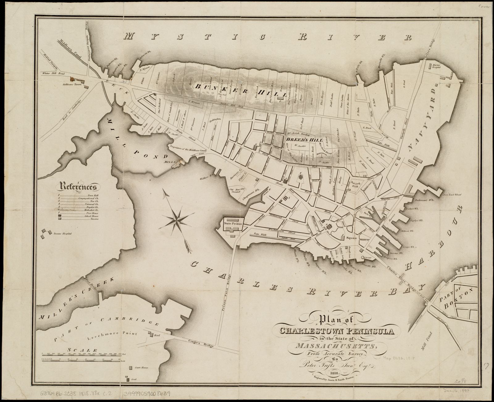
- Charlestown bank: Peter Tufts Jr.’s 1818 Plan of Charlestown Peninsula maps the river frontage (Maps).
⚑ Unverified
No Tufts shipyard on the Mystic has been found. The location of “James Tufts's barn” is not identified.
Maps
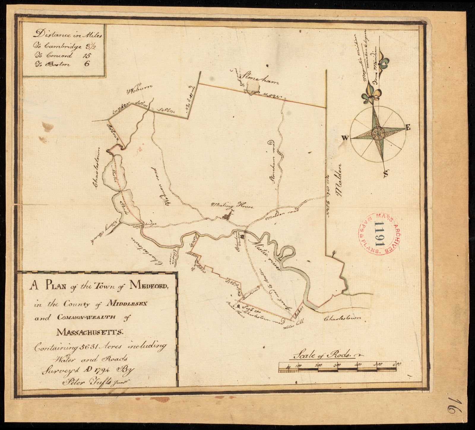
Two of the earliest surviving plans of this ground were drawn by a member of the family. Both carry the signature of a “Peter Tufts Junr”: a town plan of Medford made for the Commonwealth in 1794, and a printed plan of the Charlestown peninsula in 1818. Both originals are described as having no known copyright restrictions, and both are shown here from the holding institutions’ scans.
The surveyor
Tufts association: Both plans were drawn by a Peter Tufts Jr.; the 1818 plan by Peter (1774–1825), surveyor, son of Peter Tufts (1753–1832). (Edward C. Booth, “The Tufts Family in Somerville,” Historic Leaves (Somerville Historical Society), vol. 1 (1902–03), p. 23. Perseus)
“Mr. Tufts was a civil engineer by profession, and among the many Peters is designated as ‘Peter, the surveyor.’ He drew a plan of Charlestown in 1818, and the mass of plans that he left behind him shows how laboriously he was engaged in the surveys of public and private property.”
Edward C. Booth, “The Tufts Family in Somerville,” Historic Leaves (Somerville Historical Society), vol. 1 (1902–03), p. 23, on Peter Tufts Jr., born 1774, son of Peter Tufts (1753–1832). Text (Perseus)
Booth adds on the same page that this Peter (1774–1825) was keeper of the Powder House, moved with the powder to the new magazine at Cambridgeport in 1815, and died there in 1825.
⚑ Unverified
Which Peter Tufts signed the 1794 Medford plan. In 1794 both Peter Tufts (1753–1832), then living in Medford, and his son Peter (1774–1825), the surveyor, could have been styled “Junr.” Booth credits the son with the 1818 Charlestown plan only. The attribution of the 1794 plan to the son is likely but not confirmed.
Other maps showing Tufts land
Tufts association: The Baldwin copy and Stadly facsimile reproduce Peter Tufts Jr.’s 1794 survey; the 1848 plan covers the same Charlestown ground. (catalog records linked below)
- Loammi Baldwin’s manuscript copy, about 1807, of Tufts’s 1794 Medford plan. William L. Clements Library, University of Michigan. Leventhal catalog record (link only; may be under copyright per the holder).
- Felton & Parker, Plan of the City of Charlestown (1848), which superseded Tufts’s plan and shows parts of Somerville. Leventhal Map Center.
- Geo. W. Stadly & Co., Atlas of the City of Medford (1897–99), double sheets 20–21, with facsimiles of Tufts’s 1794 plan, John Sparrell’s 1830 plan and H. F. Walling’s 1855 map. Leventhal Map Center.
⚑ Unverified
No map yet located marks the Winter Hill, Powder House or Elm Street Tufts farms by owner name. Later atlases with owners’ names are still to be checked.
Homesteads
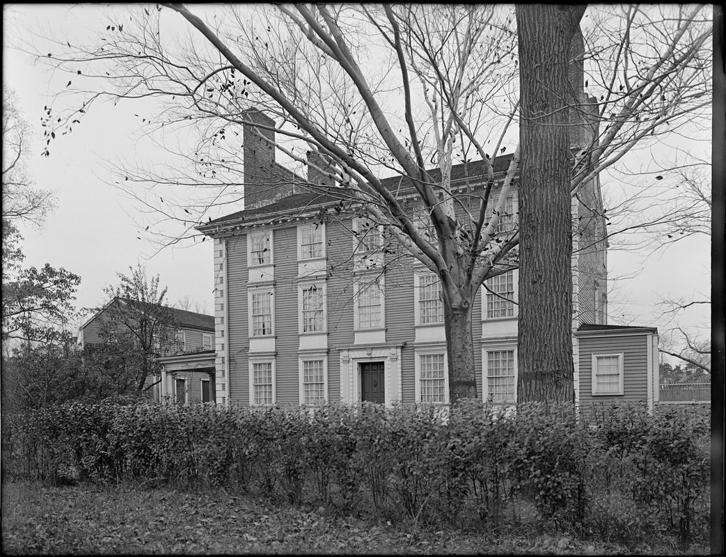
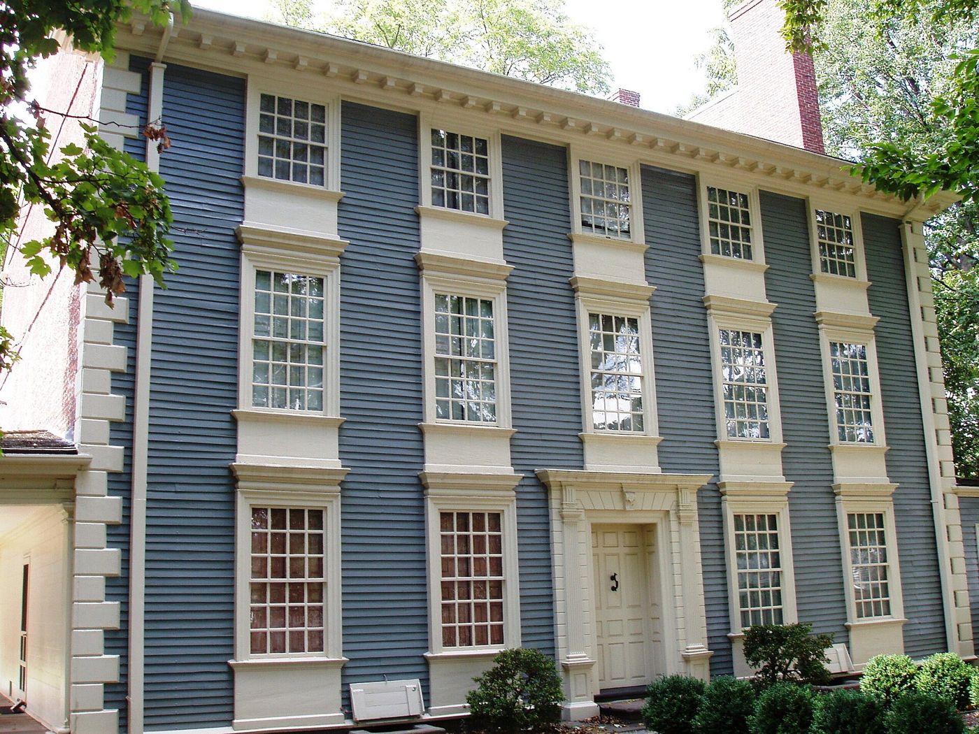
Peter Tufts House, Medford (350 Riverside Avenue)
Tufts association: Built by or for the first Peter Tufts and occupied by his son Capt. Peter Tufts; probable birthplace of Dr. Simon Tufts (b. 1700). (“The Tufts Family Residences,” Medford Historical Register, vol. XVIII (1915), pp. 60–64)
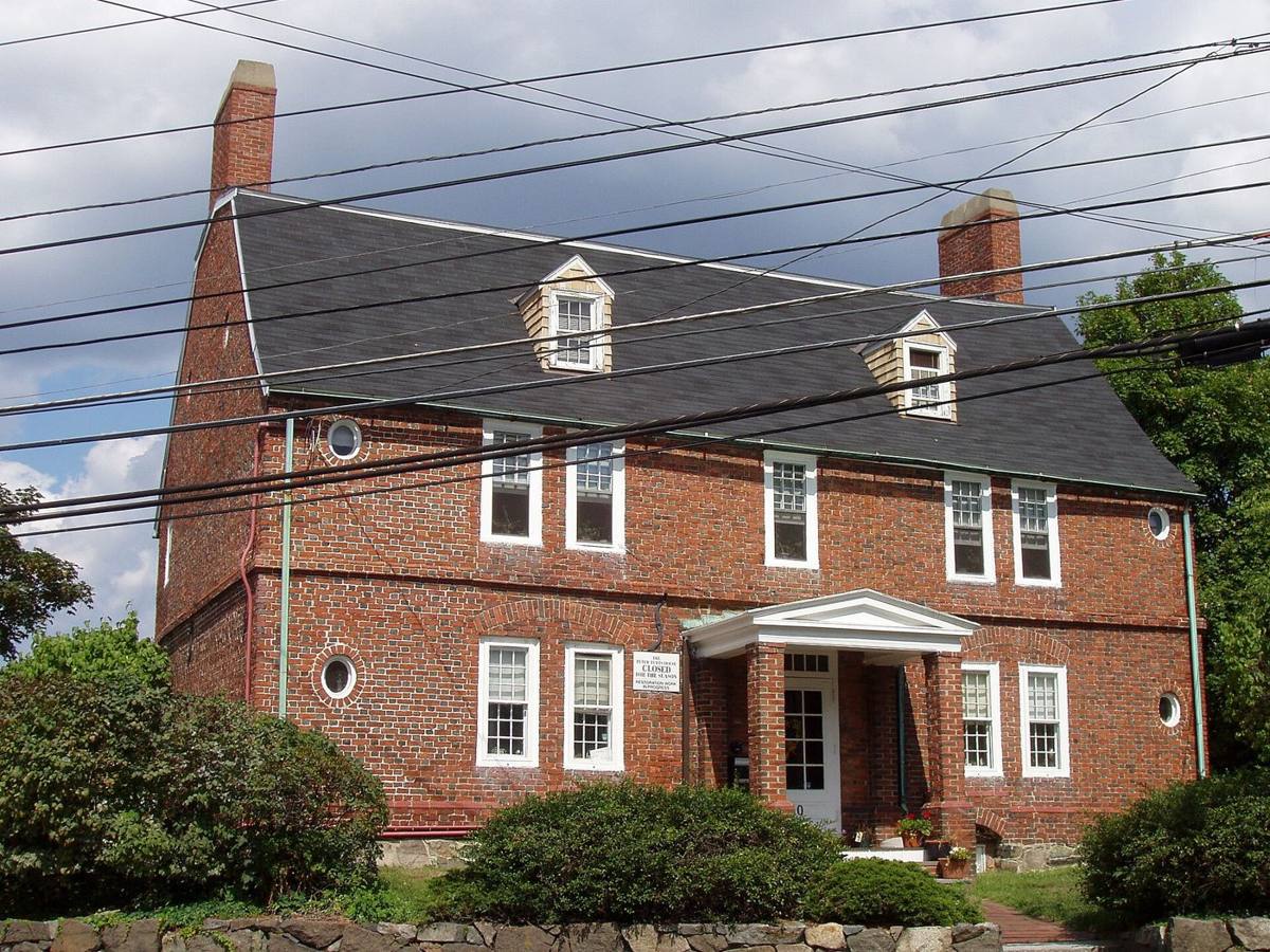
The brick house long misnamed the “Cradock House” is a National Historic Landmark (1968). The Medford Historical Register of 1915 assigns its building to the first Peter Tufts “some fifteen or twenty years before his death in 1700,” first occupied by his son Captain Peter. (“The Tufts Family Residences,” Medford Historical Register, vol. XVIII (1915), p. 64. Text (Perseus)) Photographs are in the Illustrations below.
⚑ Unverified
The exact building date and builder. Sources give about 1677–1680; tree-ring or deed proof has not been seen here.
The Drs. Simon Tufts house, Medford Square
Tufts association: Residence of Dr. Simon Tufts (1700–1747), his son Dr. Simon Tufts (1726–1786), and Turell Tufts, Esq. (“The Tufts Family Residences,” Medford Historical Register, vol. XVIII (1915), p. 67)
“A few old residents there are who remember the old house which was successively the home of the elder and younger Drs. Simon, and Turell Tufts, Esq., at Medford square. This, decrepit with age, was demolished in 1867”
“The Tufts Family Residences,” Medford Historical Register, vol. XVIII (1915), p. 67. Text (Perseus)
Peter Tufts of Winter Hill homestead
Tufts association: Residence of Peter Tufts of Winter Hill (1728–1791), then of his son Joseph (1760–1819); later the printing office of Edmund Tufts. (Edward C. Booth, “The Tufts Family in Somerville,” Historic Leaves (Somerville Historical Society), vol. 1 (1902–03), p. 21, 24. Perseus)
“Many remember the old house near the westerly corner of Central street and Broadway, before its removal to Lowell street.”
Edward C. Booth, “The Tufts Family in Somerville,” Historic Leaves (Somerville Historical Society), vol. 1 (1902–03), p. 21. Text (Perseus)
Booth (p. 24) says Joseph Tufts, born 1760, inherited this homestead and lived in it until 1819, and that his son Edmund later hung the sign “Edmund Tufts, Printer” on the old house. See also Winter Hill.
Peter and Oliver Tufts House, Somerville (78 Sycamore Street)
Tufts association: Farm of John Tufts (b. 1755), set up by his father Peter of Winter Hill during the Revolution; later Oliver Tufts’s farm; Gen. Charles Lee’s headquarters. (Edward C. Booth, “The Tufts Family in Somerville,” Historic Leaves (Somerville Historical Society), vol. 1 (1902–03), p. 23–24. Perseus)
“During the Revolution, his father established him on the farm the house of which is now rented by the Somerville Historical society.”
Edward C. Booth, “The Tufts Family in Somerville,” Historic Leaves (Somerville Historical Society), vol. 1 (1902–03), p. 23, on John Tufts (b. 1755), son of Peter of Winter Hill. Text (Perseus)
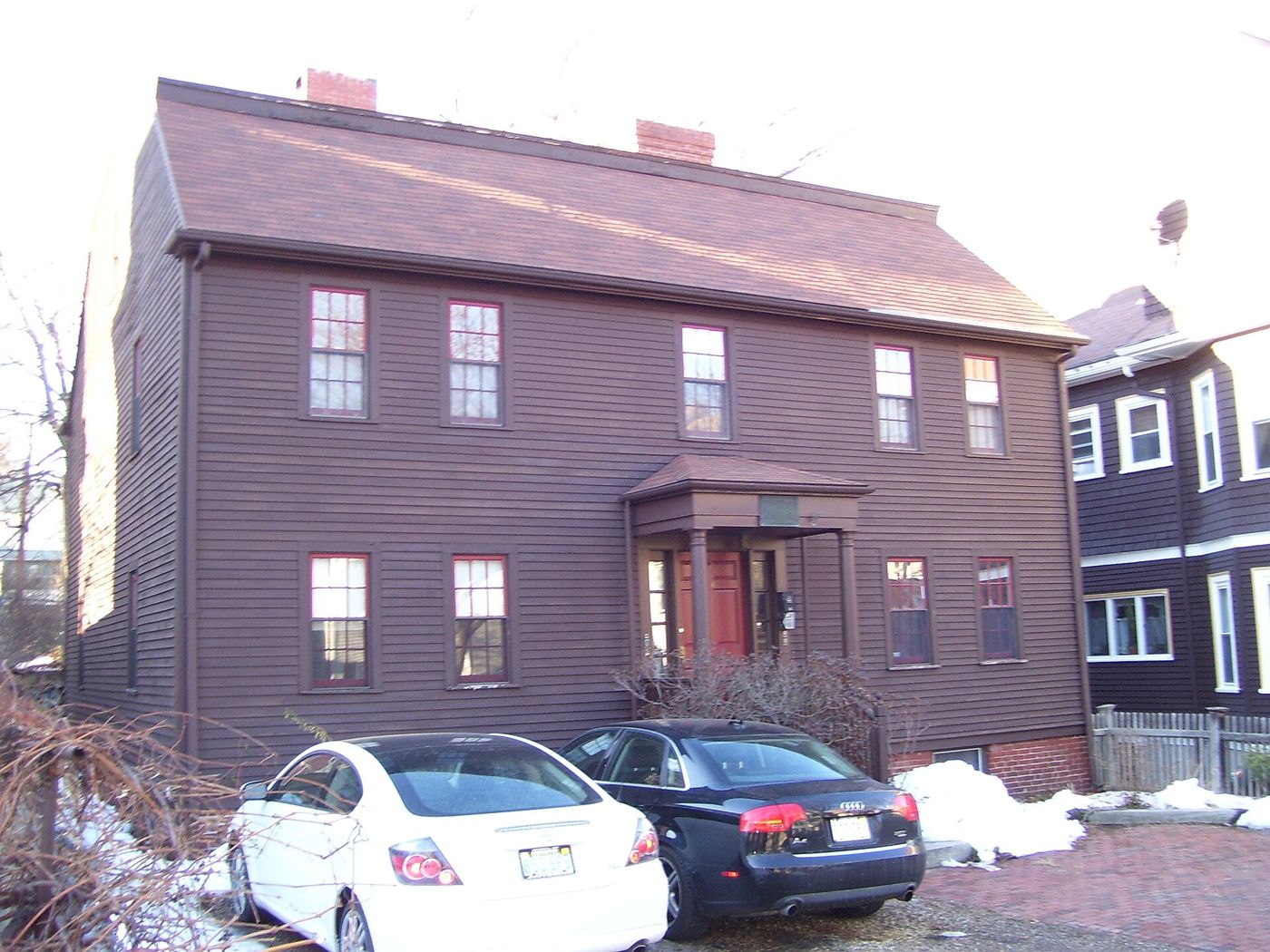
Booth calls it “the headquarters of General Lee” and says Oliver Tufts farmed there until his death in 1883 (pp. 23–24). The house was moved a short distance from its first site and is listed on the National Register (1989). Measured drawings: Historic American Buildings Survey, MA-809 (Library of Congress).
Timothy Tufts house, Elm Street, Somerville
Tufts association: Farm and house of Timothy Tufts, Esq. (b. 1735), selectman and justice of the peace, received from his father Peter of Milk Row. (Edward C. Booth, “The Tufts Family in Somerville,” Historic Leaves (Somerville Historical Society), vol. 1 (1902–03), p. 25. Perseus)
“This house was built about a year before the Revolution, and replaced an older one which stood on a knoll by a large elm tree somewhat farther back from the street.”
Edward C. Booth, “The Tufts Family in Somerville,” Historic Leaves (Somerville Historical Society), vol. 1 (1902–03), p. 25, on Timothy Tufts (b. 1735), on Elm Street near Willow Avenue. Text (Perseus)
⚑ Unverified
Whether the Timothy Tufts house still stands. Booth wrote in 1902–03; no later source has been checked.
Peter Tufts (of Milk Row) house, Somerville Avenue
Tufts association: Dwelling bought of Russell in 1701 and inherited by Peter Tufts of Milk Row from his father John; Gen. Nathanael Greene’s headquarters during the siege. (Edward C. Booth, “The Tufts Family in Somerville,” Historic Leaves (Somerville Historical Society), vol. 1 (1902–03), p. 24. Perseus)
“It is the house familiar to the members of this society as the one on Somerville avenue, which General Greene occupied as his headquarters during the siege of Boston.”
Edward C. Booth, “The Tufts Family in Somerville,” Historic Leaves (Somerville Historical Society), vol. 1 (1902–03), p. 24, on the dwelling bought of Russell in 1701. Text (Perseus)
The Powder House farm and the Peter Tufts mansion, 1806
Tufts association: Farm bought by Peter Tufts (1753–1832) from his cousin Daniel Tufts in 1788, with his 1806 mansion; Powder House later held by Nathan Tufts’s heirs. (Edward C. Booth, “The Tufts Family in Somerville,” Historic Leaves (Somerville Historical Society), vol. 1 (1902–03), p. 22. Perseus)
“In 1788, Peter bought of his cousin, Daniel Tufts, the farm opposite the Powder House, afterwards owned by Charles Tufts, and in 1806 built upon it the large three-storied mansion house taken down a few years ago.”
Edward C. Booth, “The Tufts Family in Somerville,” Historic Leaves (Somerville Historical Society), vol. 1 (1902–03), p. 22, on Peter Tufts (1753–1832). Text (Perseus)
The Commonwealth sold the Powder House itself to a Peter Tufts in 1818. It passed to Nathan Tufts, and his heirs gave it to Somerville in 1890 for the park named for him. Wikipedia: Powder House Square (tertiary).
⚑ Unverified
The Powder House chain of title. Secondary sources disagree: 1818 or 1822 for the Tufts purchase, and 1836 for the passing to Nathan Tufts. Which Peter bought it is not stated. Deeds not yet seen.
Nathan Tufts, butcher and tanner, Charlestown
Tufts association: Business of Nathan Tufts, son of Nathan Sr.; his landholdings around the Powder House and Walnut Hill. (Edward C. Booth, “The Tufts Family in Somerville,” Historic Leaves (Somerville Historical Society), vol. 1 (1902–03), p. 21. Perseus)
“Nathan, the youngest son of Nathan, Sr., was also a resident of Charlestown after his boyhood, and was an extensive butcher and tanner there.”
Edward C. Booth, “The Tufts Family in Somerville,” Historic Leaves (Somerville Historical Society), vol. 1 (1902–03), p. 21. Text (Perseus)
Booth adds that he owned “the large farms around the Powder House and Walnut hill afterwards owned by his nephews, Charles and Nathan” (p. 21). The Nathan Tufts house itself has not yet been identified.
Cotton Tufts Jr. homestead, Weymouth (246 Commercial Street)
Tufts association: Homestead of Cotton Tufts Jr. (1757–1833), who also kept a store with James Whittemore. (Weymouth finding aid)
The Weymouth Historical Commission’s list of historic homes gives 246 Commercial Street as the “Cotton Tufts Jr. Homestead,” Georgian, built “pre 1700.” Town of Weymouth list. The town’s Tufts/Smith/Adams Family Collection finding aid adds that the younger Cotton Tufts (1757–1833) kept a store with James Whittemore where the original Tufts Library was built, and holds an 1877 booklet of plans of the Tufts estate lands in Weymouth, Braintree and Quincy. Finding aid. See Dr. Cotton Tufts.
⚑ Unverified
The “pre 1700” date is the town list’s; it predates the Tufts family in Weymouth, so the house was presumably acquired, not built, by them. The 1877 estate plans have not been seen.
Peter Tufts the immigrant, Malden
Tufts association: Ferry kept by Peter Tufts (1617–1700), Malden’s largest landholder at his death. (Edward C. Booth, “The Tufts Family in Somerville,” Historic Leaves (Somerville Historical Society), vol. 1 (1902–03), p. 21. Perseus)
Booth (p. 21) writes that the first Peter “kept the Ferry between Charlestown and Malden with his brother-in-law, Bridges, in 1646-7,” was the largest landholder in Malden at his death in 1700, and lived latterly “on the site of the United States Ordnance property, near the Malden river and canal.” Text (Perseus)
The Powder House and Revolutionary Landmarks
The Old Powder House, Somerville (Nathan Tufts Park)
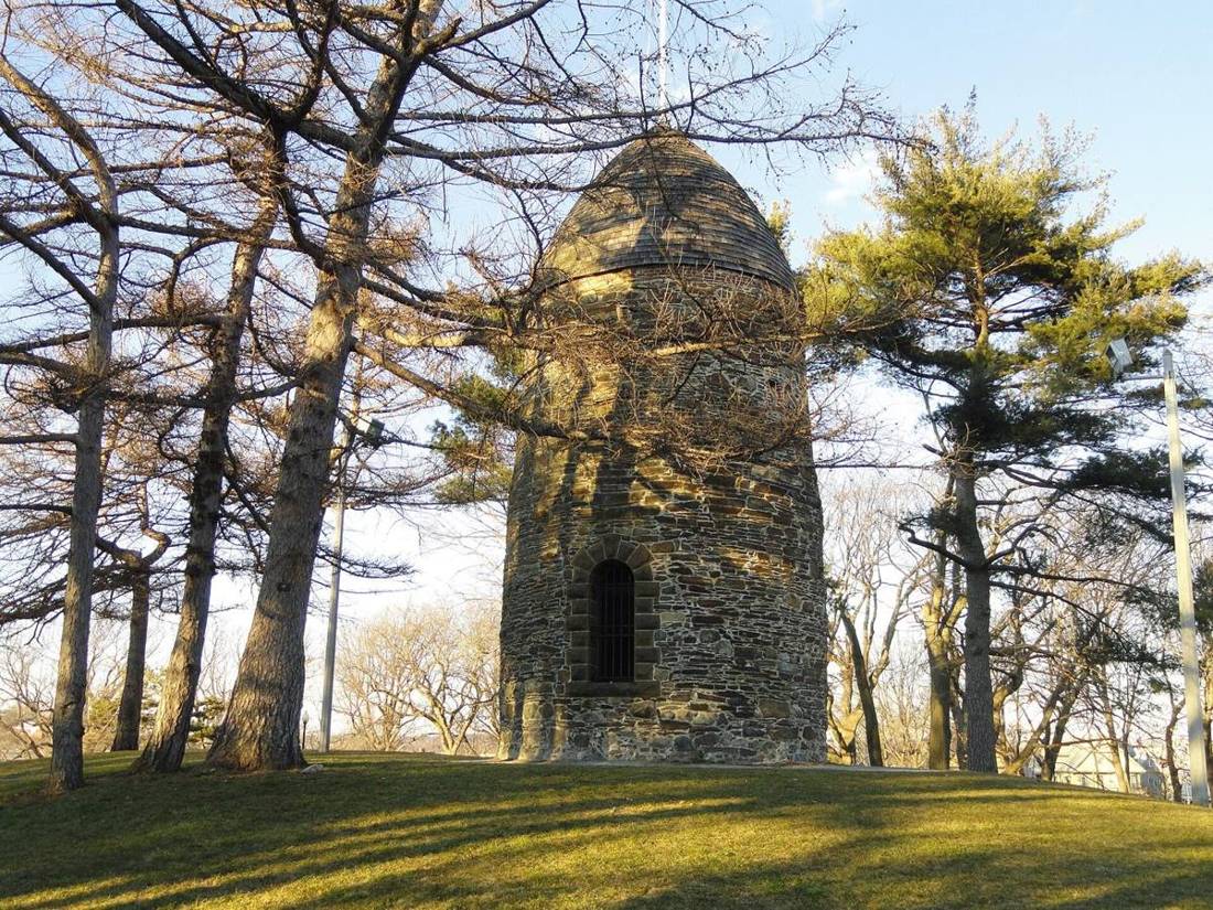
The stone tower on Quarry Hill was built as a windmill in the early 1700s. In 1747 the province bought the “stone edifice, formerly a windmill” and a quarter-acre of land and made it a gunpowder magazine. It stood then in Charlestown, close to the Medford line. On September 1, 1774, troops sent by Gov. Thomas Gage removed the provincial powder stored there. Rumor spread that blood had been shed, and thousands of militiamen marched toward Boston and Cambridge. This was the “Powder Alarm.” The magazine served until 1818, when the state sold it. (J. L. Bell, Boston 1775, March 2016; Wikipedia: Powder Alarm, tertiary)
Tufts association: Peter Tufts (1753–1832) bought the farm opposite the Powder House in 1788. His son Peter (1774–1825) was the keeper of the Powder House until 1815. Nathan Tufts, the butcher and tanner, owned “the large farms around the Powder House and Walnut hill.” The magazine and its lot were later Tufts property, and the family gave them to Somerville in 1890 as Nathan Tufts Park. (Edward C. Booth, “The Tufts Family in Somerville,” Historic Leaves (Somerville Historical Society), vol. 1 (1902–03), pp. 21–23. Perseus; SAH Archipedia)
⚑ Unverified
Tufts ownership of the magazine lot itself. The Boston 1775 blog and Wikipedia say the state sold it to “Peter Tufts” in 1818; SAH Archipedia says the Tufts family acquired it in 1822. Neither names which Peter, and the deed has not been seen. Booth confirms Tufts farms around the Powder House, not the purchase of the magazine itself. No Tufts is yet documented in the events of September 1, 1774.
Pictured in the Illustrations below. See Peter Tufts Jr.
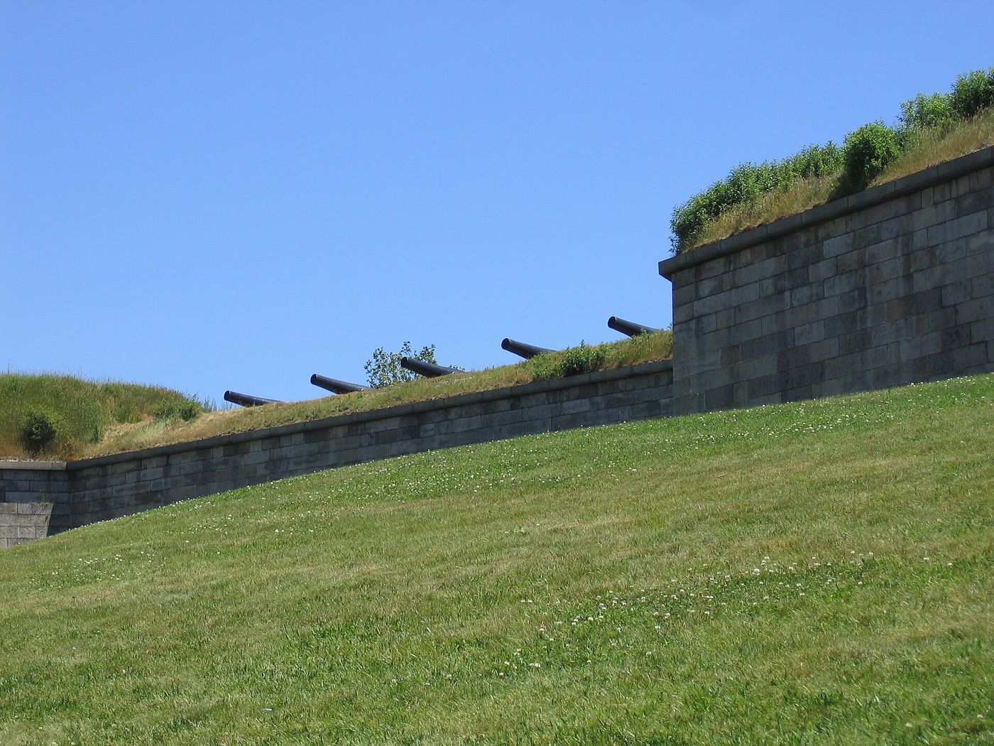
Winter Hill fort and the alarm route
The 1890 marker in Paul Revere Park, Winter Hill, commemorates Paul Revere’s ride and the Winter Hill fort. It stands beside the Anne Adams Tufts tablet (see Winter Hill).
Tufts association: Revere’s route passed the Winter Hill farm of Peter Tufts, whom he woke on April 19, 1775. (Alvin Lincoln Jones, Under Colonial Roofs (1894), p. 129)
⚑ Unverified
The marker’s full text and the exact site of the Winter Hill fort have not been transcribed here.
Prospect Hill and Fort No. 3
“A barrack for the soldiers was erected on the homestead lot during the siege of Boston by Colonel Patterson, and Fort No. 3 took its beginning near the same point.”
Edward C. Booth, “The Tufts Family in Somerville,” Historic Leaves (Somerville Historical Society), vol. 1 (1902–03), part 1, p. 23. Perseus
Tufts association: The lot was the homestead of Nathaniel Tufts (1692–1741), on Washington Street near Union Square. By the Revolution it had passed to his son William (d. 1773). (Edward C. Booth, “The Tufts Family in Somerville,” Historic Leaves (Somerville Historical Society), vol. 1 (1902–03), part 1, pp. 22–23)
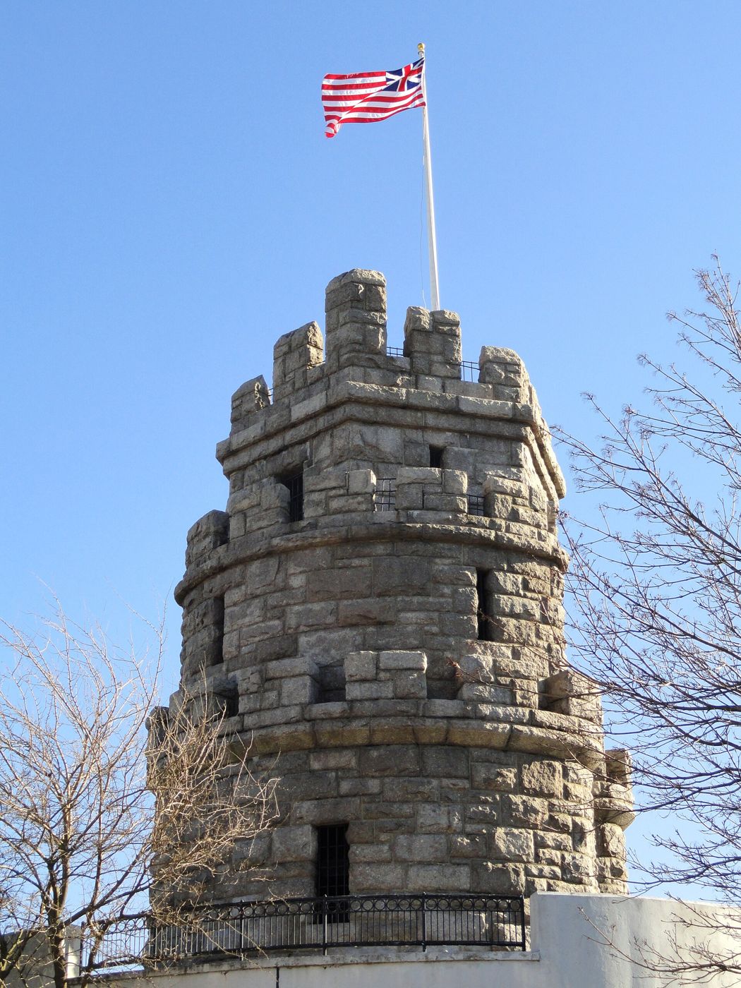
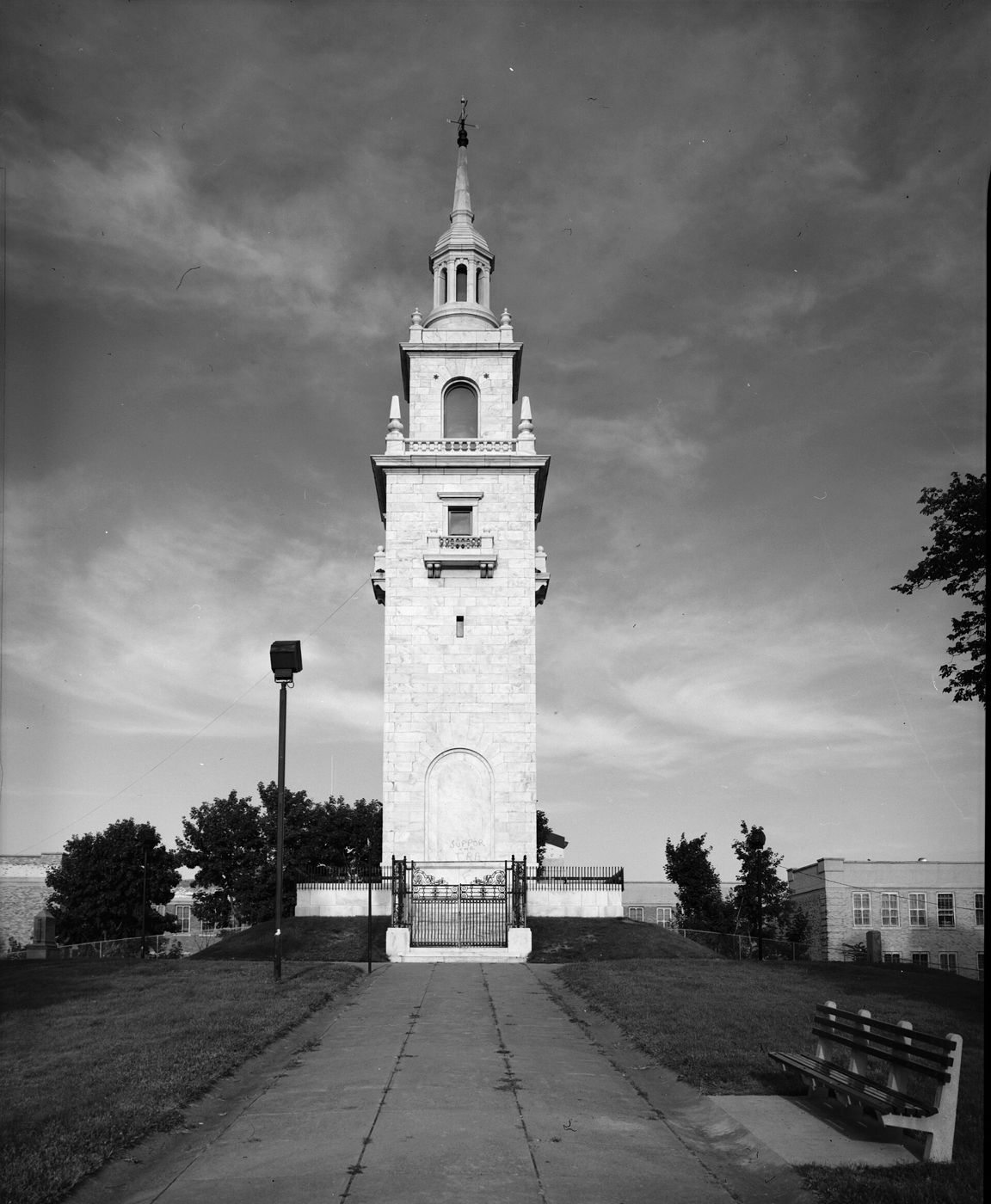
Prospect Hill is pictured in the Illustrations below. For Tufts service there, see James Tufts Jr. and John Tufts (49-2).
Headquarters houses
Two Tufts houses served as American headquarters during the siege: Gen. Greene’s at the Peter Tufts house on Somerville Avenue, and Gen. Lee’s at the John and Oliver Tufts house. See Homesteads.
⚑ Unverified
Other landmarks still to research: Ploughed Hill (Mount Benedict), Cobble Hill, the Medford and Charlestown taverns on the 1775 alarm route, and the Cambridgeport magazine kept by Peter Tufts from 1815.
Illustrations












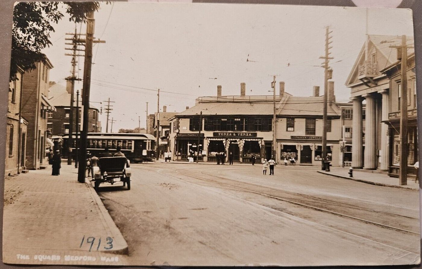

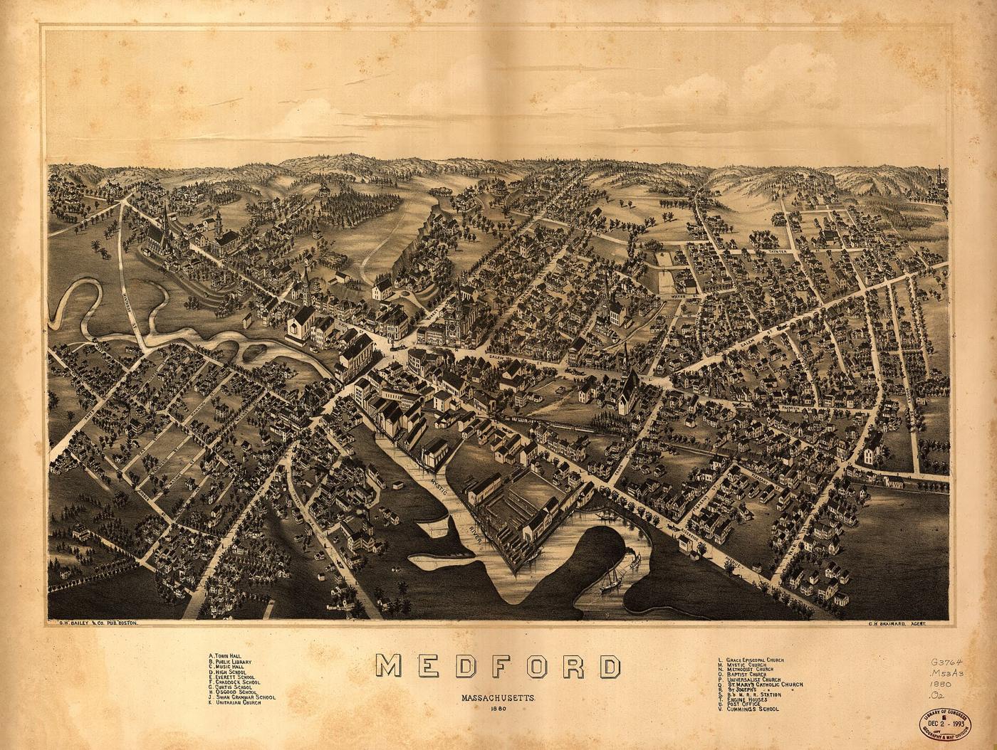

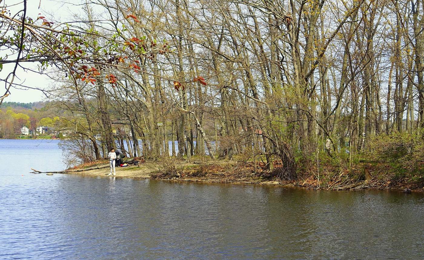


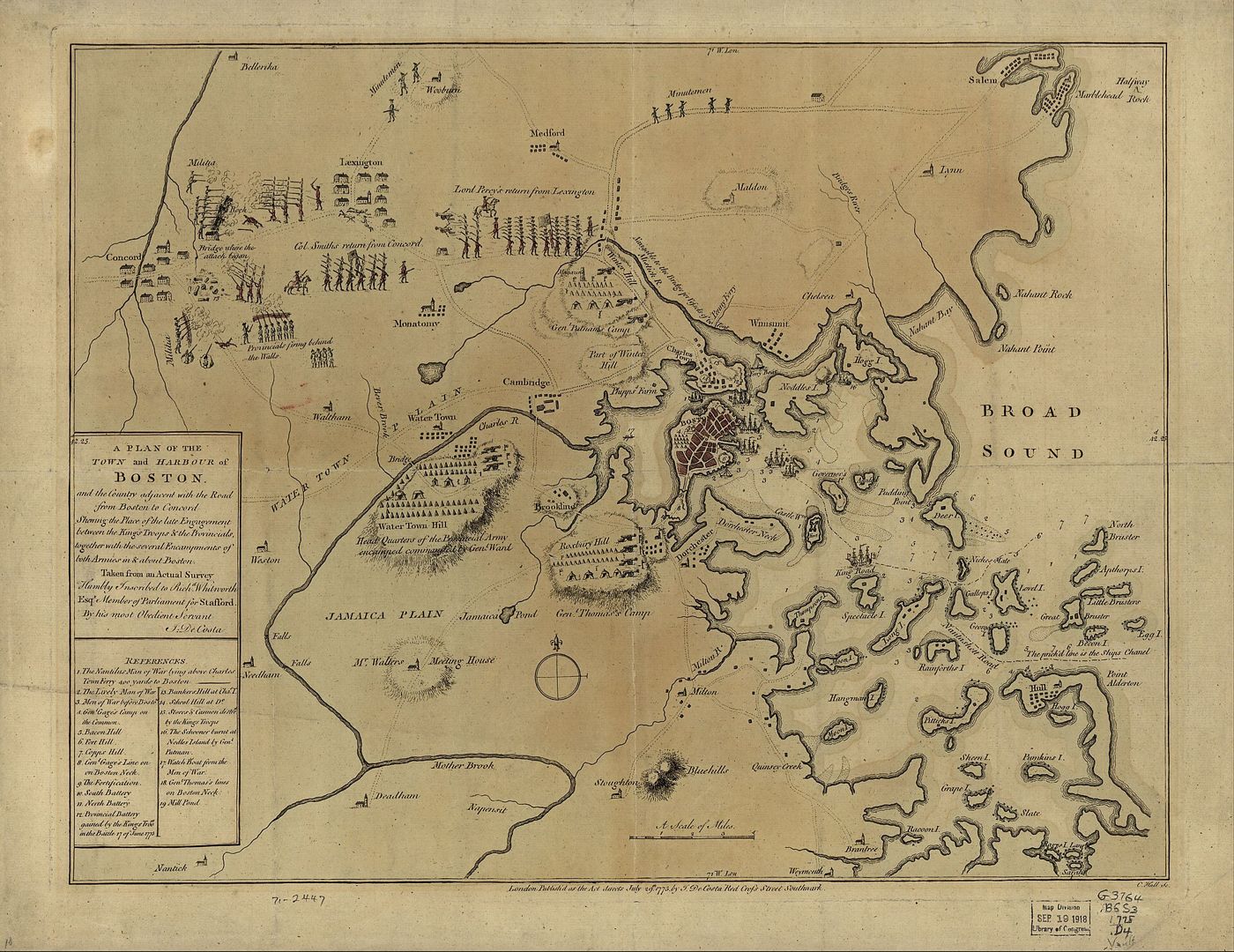

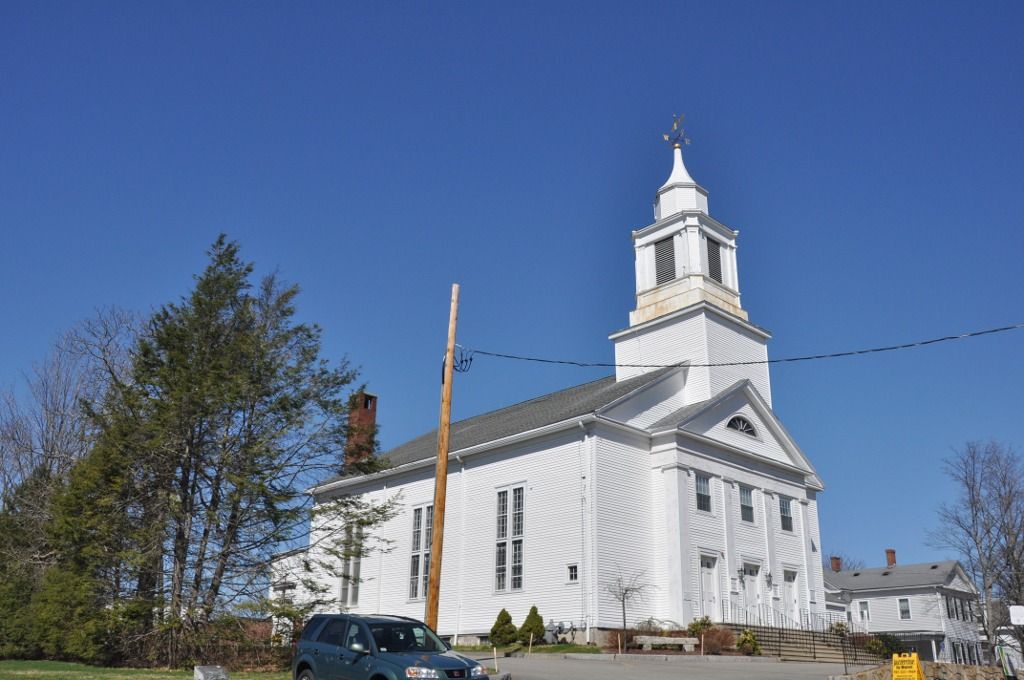

Further Research Links
Outside resources for further research. Secondary and user-contributed sites (blogs, family trees, memorial sites, Wikipedia) are not verified here.
- Street View – Winter Hill Fortifications (google.com)
- Helen Tilden Wild, Medford in the Revolution (1903) – Full PDF (Internet Archive)
- Street View – Nathan Tufts Park / Powder House (google.com)
- Medford, Somerville local history (tuftsdaily.com)
- Street View – Timothy Tufts House (google.com)
Penny Ferry / “Tufts Landing”: the Charlestown–Malden Crossing
Tufts association: Peter Tufts the immigrant succeeded Philip Drinker as ferryman at Charlestown Neck in early 1647. This was the ferry later called the Penny Ferry, superseded in 1787 by Malden Bridge, on the line of today’s Alford Street Bridge. The name “Tufts Landing” is not found in any source checked. (Corey, p. 85 and n. 53; Medford Historical Register, vol. XXI, p. 54)
Profile: Peter Tufts the Immigrant.
“He kept the Ferry between Charlestown and Malden with his brother-in-law, Bridges, in 1646-7”
Edward C. Booth, “The Tufts Family in Somerville,” Historic Leaves (Somerville Historical Society), vol. 1 (1902–03), part 1, p. 21, on Peter Tufts the immigrant. Perseus
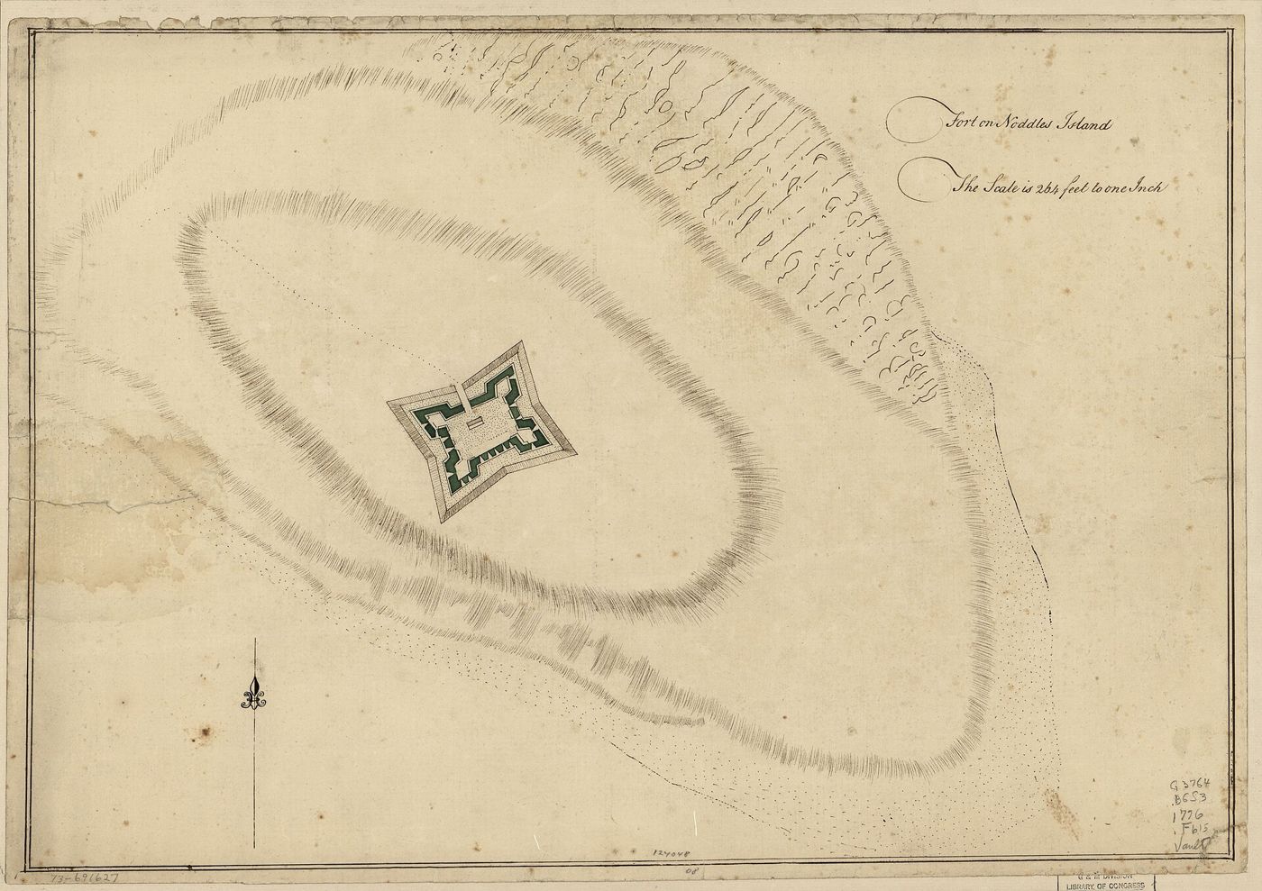
The crossing from Charlestown Neck to Malden ran across the mouth of the Mystic. The 17th- and 18th-century charts and plans below show this ground. Peter Tufts Jr.’s own 1794 Medford and 1818 Charlestown plans are in Maps. Today the crossing is roughly where Alford Street Bridge runs (OpenStreetMap, © OpenStreetMap contributors, ODbL).
⚑ Unverified
That the ferry Peter Tufts kept in 1646–47 was the later “Penny Ferry,” replaced by Malden Bridge (1787) on the line of today’s Alford Street Bridge, is the usual account, but no source quoted on this site says so yet. None of the three period maps has been checked for a labelled ferry. “Tufts Landing” was not found in any source checked.
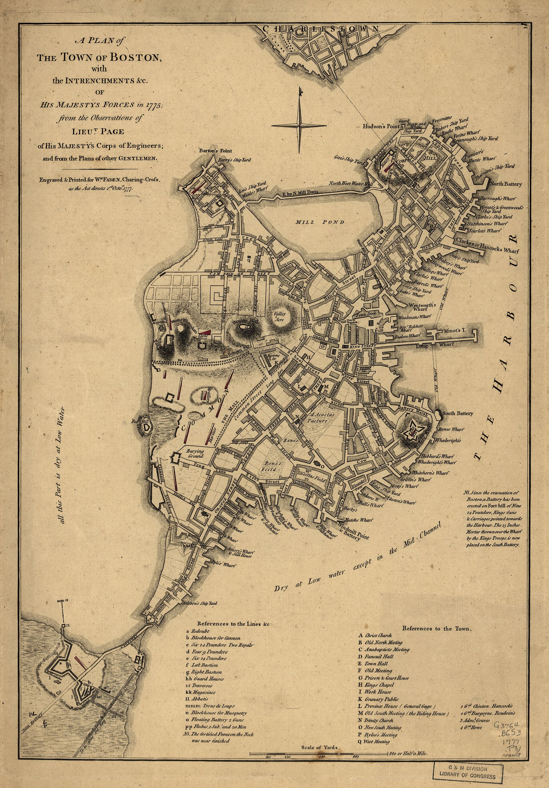

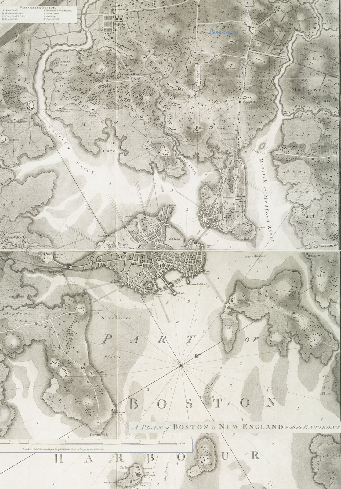

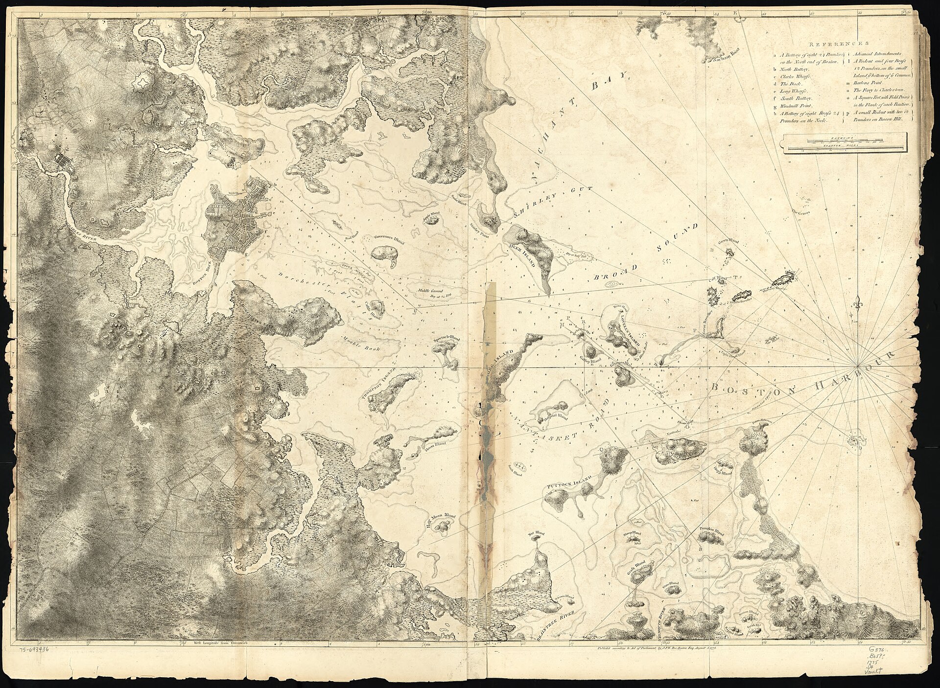

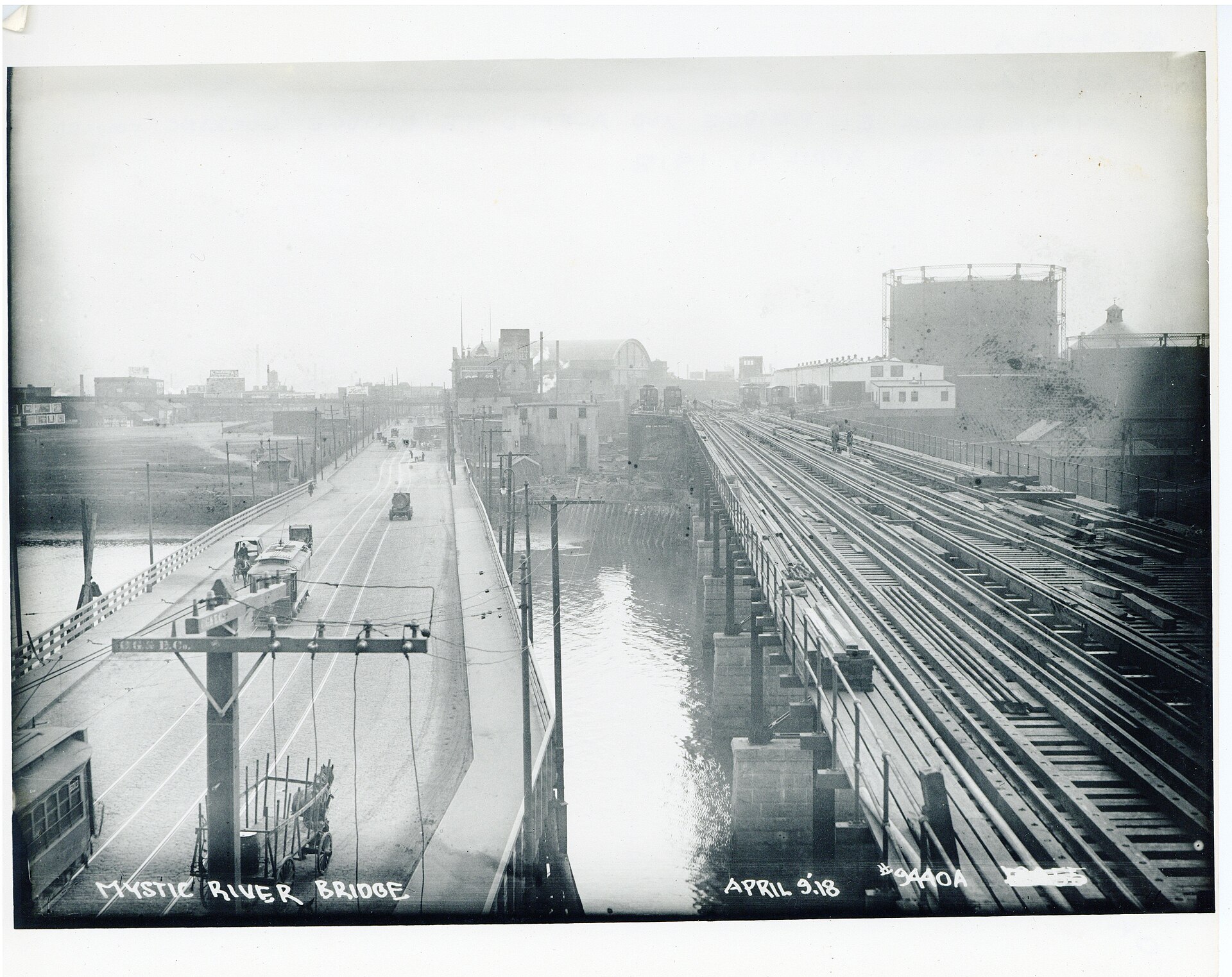

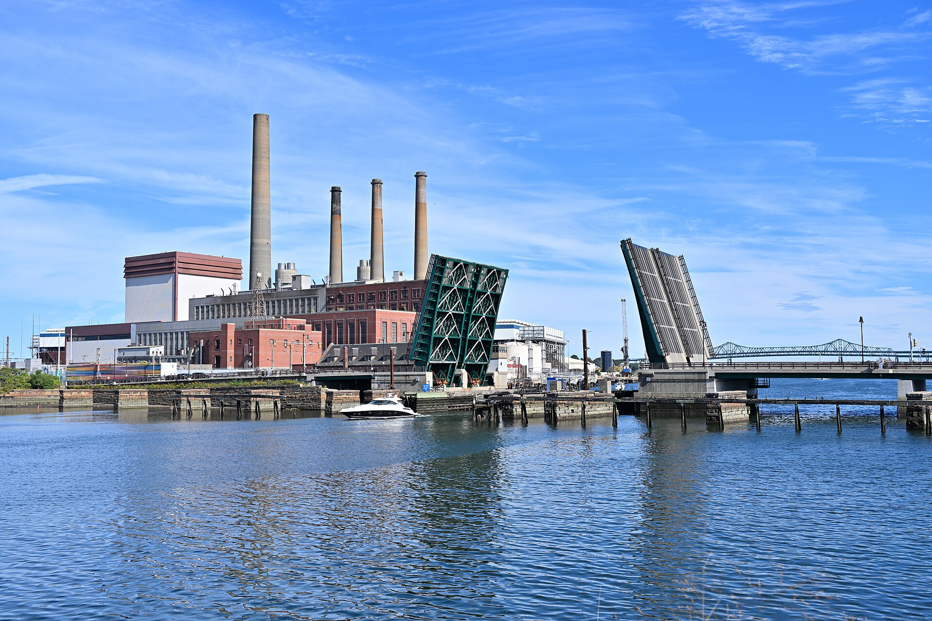

Sites Today: Street View and Photos
Links open Google Street View or OpenStreetMap in a new page. No Street View imagery is copied onto this site. The photographs are freely licensed and credited below each one.
- Malden Bridge (Alford Street Bridge), Charlestown side. The south (Charlestown) end of Alford Street Bridge, near where the Charlestown–Malden ferry once landed. View on Google Street View · OpenStreetMap (42.3866, -71.0719)
- Malden Bridge (Alford Street Bridge), Everett/Malden side. The north end of the bridge. The land here, once part of Malden, is now Everett. View on Google Street View · OpenStreetMap (42.391, -71.0712)
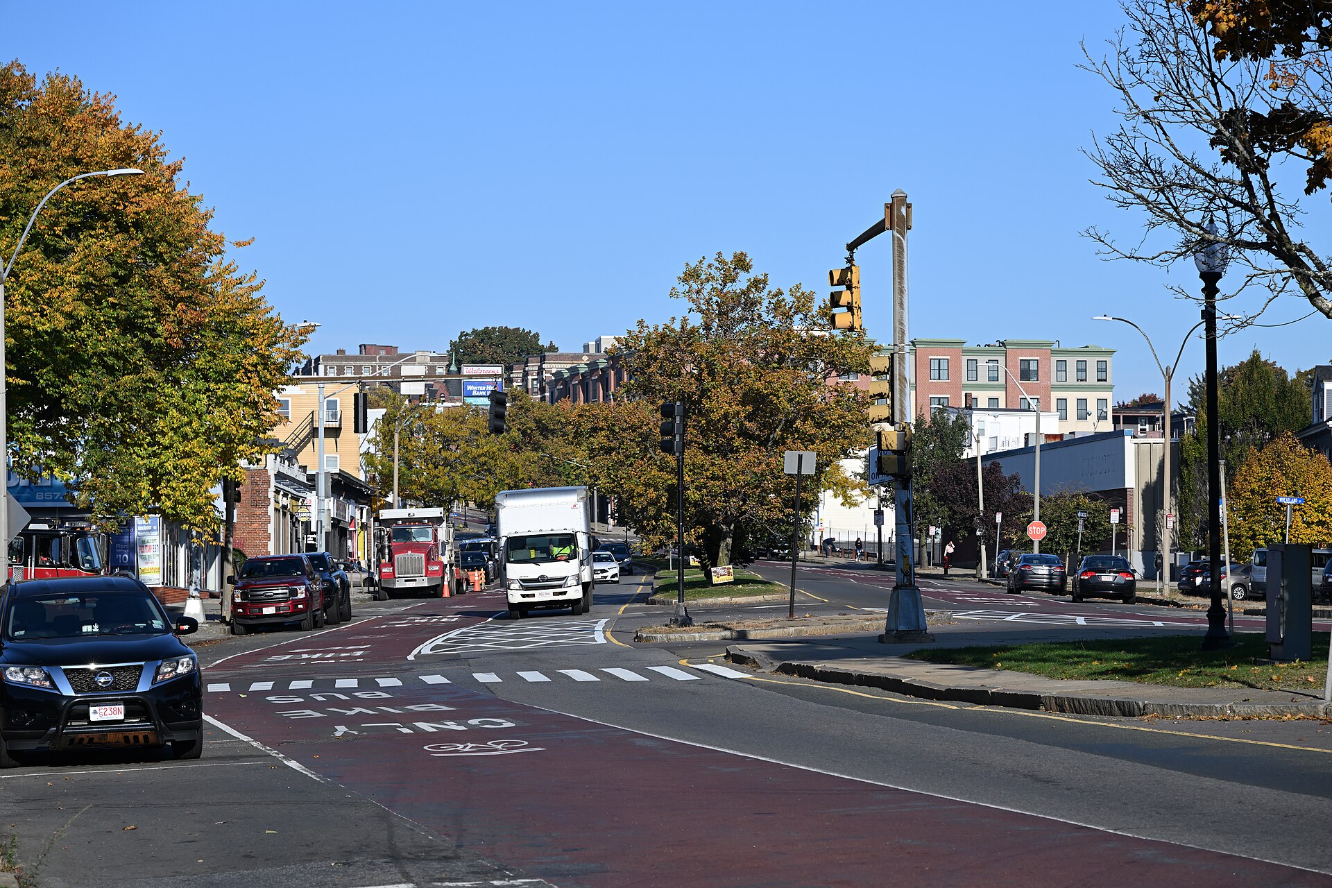
- Peter Tufts of Winter Hill homestead site. Approximate: Broadway near Central Street, Somerville. Booth (Historic Leaves, vol. 1, p. 21) says the house stood “near the westerly corner of Central street and Broadway, before its removal to Lowell street.” View on Google Street View · OpenStreetMap (42.3936, -71.1035)
- Salem Street Burying Ground, Medford. The burying ground on Salem Street, Medford Square. The Tufts tomb is plot 35. View on Google Street View · OpenStreetMap (42.4181, -71.1076)
- Peter Tufts House, 350 Riverside Ave., Medford. The brick house at 350 Riverside Avenue. View on Google Street View · OpenStreetMap (42.4115, -71.0936)
- Dr. Simon Tufts house site, Medford Square. Approximate: the corner of Main and Forest Streets. Gill (Medford Historical Register, vol. XVIII, p. 54) says the house “was on the corner of Main and Forest streets”; it was taken down in 1867. View on Google Street View · OpenStreetMap (42.4184, -71.1096)
⚑ Unverified
The Winter Hill and Dr. Simon Tufts house coordinates are approximate placements at the street corners the sources name. Neither house survives. The Malden Bridge points mark the two ends of today’s Alford Street Bridge.



More Maps and Plans
Road from Concord to Cambridge, surveyed by Peter Tufts Jr. (1797)
A manuscript survey “By Peter Tufts junior June 14th 1797” of the road the British took on April 19, 1775, from Concord meeting house through Lexington and Menotomy to the West Boston Bridge. Its maker was Peter Tufts the surveyor (1774–1825), grandson of Anne Adams Tufts. The sheet is privately held and is linked, not reproduced: “18th-century Peter Tufts, Jr. survey of a road from Concord to Cambridge, Mass.,” Boston Rare Maps, inventory BRM3348. Dealer description.
Siege of Boston plan (1776)
A plan of the town of Boston and its environs, with the lines, batteries, and incampments of the British and American armies, attributed to Sir Thomas Hyde Page, manuscript, [1776], Library of Congress. It shows the siege lines that ran across the Charlestown mainland where the Winter Hill and Milk Row Tufts farms lay. Leventhal Map Center (georeferenced); licensed CC BY-NC-SA, so it is linked rather than shown.
The Tufts Subdivisions of South Medford (Winter Hill)
Much of the Winter Hill neighborhood of South Medford was Tufts land in the nineteenth century. Nathan Tufts (1764–1839), a Charlestown butcher and tanner and a son of Nathan and Mary (Adams) Tufts, bought large holdings, including the Dexter farm, and left them to his nephews.
“Nathan Tufts (1764-1839) was a Charlestown butcher and tanner who purchased significant acreage in the two neighboring towns, valued at nearly $120,000 at the time of his death; of this, 630 acres were in six Medford holdings, valued at $51,000.”
Medford Historical Commission, Inventory Form A, “Edward Street Area” (2022). PDF
Amos Tufts’s sons William (1802–1862) and Edward (1806–1875) and grandsons George F. Tufts (1825–1920), a civil engineer and later bank president, and Alfred Tufts (1829–1882), who surveyed the plans, laid the land out in subdivisions in 1854 and 1861. Joseph, Edward and Henry Streets “were named for members of the Tufts family, Dexter after the earlier owner.” George Tufts reorganized part of section 5 in 1880, and the six end houses of Edward Street were built by 1889 (Medford Historical Commission, Inventory Form A, “Edward Street Area” (2022). PDF).